Landslide monitoring
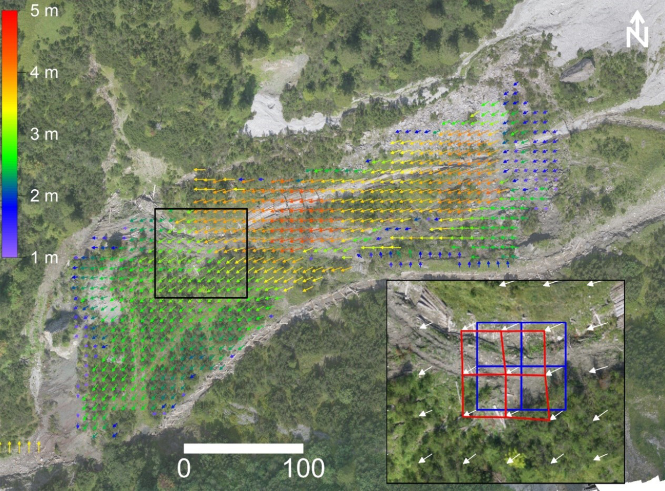
We design, install and maintain a sensor network that is aimed at providing a foundational field dataset needed to advance our understanding of landslide mechanisms. This includes the derivation and analysis of dense surface displacement fields.
To do this, we leverage new advances in sensing technology, such as high-resolution high-framerate LiDAR scanners, as well as powerful new processing algorithms, such as deep learning based object detection and tracking algorithms (see video below).


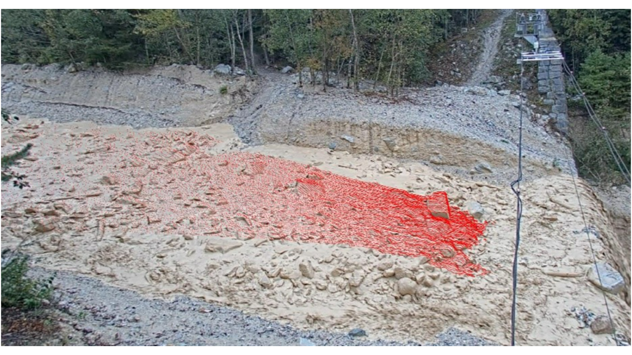
Some example sites include deformation monitoring around the Great Aletsch Glacier, as well as debris-flow monitoring at the Illgraben in Valais, Switzerland. Our debris-flow monitoring work at the Illgraben is in collaboration with the external page Swiss Federal Research Institute WSL. This is in the context of an SNSF funded Ambizione project that aims to study three key mechanisms that govern debris flow motion, which include longitudinal sorting, liquefaction and entrainment. As shown in the figure below, we are collecting a novel field dataset using multiple LiDAR scanners and cameras. We process this data with newly developed algorithms in order to track surface and particle velocities, flow depths and erosion/deposition volumes.

Contacts
Professur für Ingenieurgeologie
Sonneggstrasse 5
8092
Zürich
Switzerland
Professur für Ingenieurgeologie
Sonneggstrasse 5
8092
Zürich
Switzerland